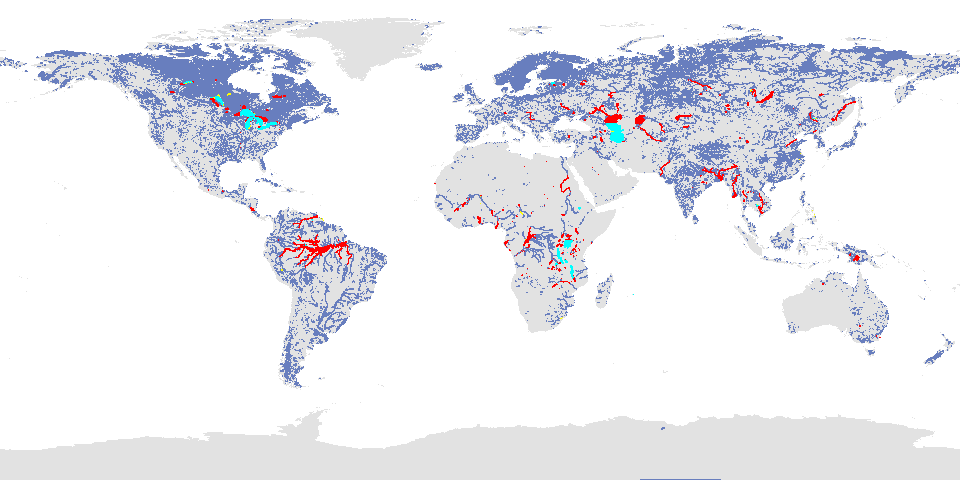
Please be aware that, because this is a new satellite, the Jason1 mask of good quality crossings has been used for this
first retrieval of Jason2
river and lake heights; this is shown above in cyan. The performance of Jason2 will now be assessed over many more
river and lake crossings;
as soon as more targets are confirmed as stable, these will be added, so that over the next few months it is
anticipated that significantly more targets
will be available from the satellite in Near-Real-Time.
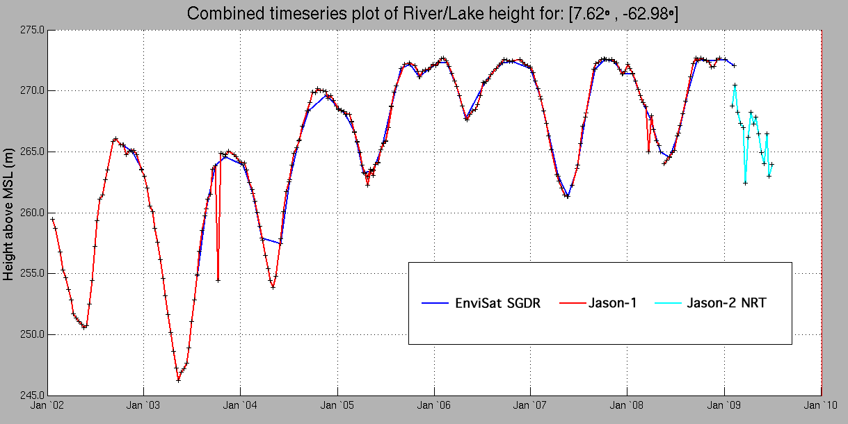
An example of a combined timeseries using the new processor is shown below over the Orinocco River. The historical
data provdied by both Jason-1 and EnviSat show
very good agreement with the Jason-2 data carrying on the same trend where the historical data ends.
|